

When the Roads Disappear in Winter: A Drone Perspective on North Texas Ice Storm Safety
A few weeks ago, North Texas faced a rare snow and ice storm that brought everyday life to a standstill. Roads vanished under sheets of ice, leaving many families stuck at home for days. As an FAA-licensed drone pilot based in Celina, Texas, I briefly launched a drone to assess the conditions around my neighborhood. What I saw from above told a story the ground couldn’t. The roads weren’t just slick; they were completely untouched. No tire tracks. No signs vehicles had safely passed through. From the ground, it's easy to assume that if a road looks clear, someone else has already driven on it. But from the air, the truth was clear: the roads were empty for a reason. That aerial perspective changed how I viewed the storm and reminded me how technology, when used responsibly, can provide valuable situational awareness during severe weather.
What Aerial Perspective Reveals During a Winter Storm
Most of the time, drones are associated with beautiful images—sunsets over expanding communities, construction projects taking shape, local businesses celebrating milestones. But during this North Texas winter storm, the drone served a different purpose.
From above, the icy conditions were much more obvious. Intersections that seemed manageable from the ground revealed long, unbroken sheets of ice stretching across multiple blocks. Driveways and secondary roads were equally quiet, suggesting neighbors wisely chose to stay home. The aerial view offered clarity. What looked like a simple drive could easily turn into a dangerous situation. Sometimes, perspective makes all the difference.
Lessons From Above: Why Patience Matters in Severe Weather
Storms remind us that patience is often the best choice. During moments like these, it’s tempting to press on, convinced that the road ahead isn’t as bad as it looks. But the drone’s view told another story. No one was driving because conditions were too dangerous. Sometimes, wisdom lies in waiting. The storm would pass, temperatures would rise, and roads would clear. Rushing into hazardous situations could turn a minor inconvenience into a bigger problem. It’s often smartest to weather the storm rather than become a storm someone else must face for you.
How Drone Technology Supports Community Awareness
These moments also highlight a lesser-known benefit of drone technology. Beyond photography and video, drones can give an aerial perspective that helps people better understand ground conditions. From construction progress to weather impacts, aerial imagery offers insights that are hard to see from street level. Responsible drone use guided by safety rules and FAA regulations ensures this technology enhances awareness and informed decisions. That’s why drone storytelling has become a powerful way to document communities across North Texas.
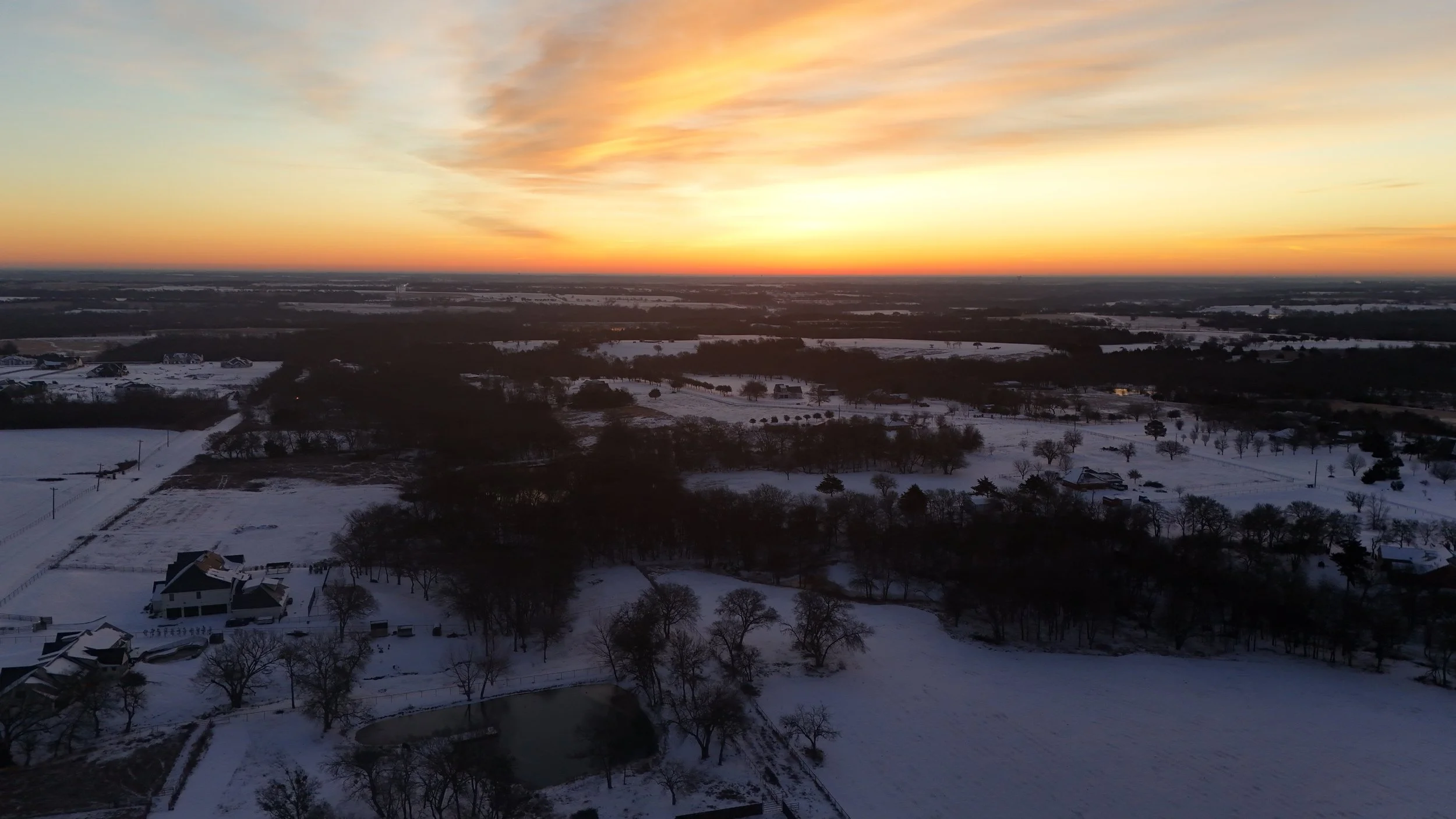
Sunrise after snow in North Texas
A Local View From Celina, Texas
Living in Celina means witnessing a community constantly growing and changing. New neighborhoods appear where open land once stretched for miles. Local businesses take root and create gathering spaces for neighbors. Storms remind us that growth and progress still happen within nature’s rhythm. Even in one of North Texas’s fastest-growing areas, sometimes the best choice is to pause, stay home, and wait for the storm to pass. Those quiet moments offer perspective that’s easy to miss during everyday busyness. Sometimes, seeing that perspective from above helps reinforce the lesson.
Seeing the Bigger Picture
Storms pass eventually. Roads clear. Life resumes. But the lessons remain. Technology doesn’t replace judgment; it supports it. Often, the best decisions come not from rushing forward, but from stepping back and gaining a clearer view of the bigger picture. In communities like Celina and across North Texas, aerial perspectives continue to reveal stories that might otherwise go unnoticed.
If you ever see a drone in the sky capturing moments around Celina, there’s a good chance it might be Lighthouse 828 Media.
Feel free to say hello. Sometimes the best stories begin with a simple conversation.